GEOCATMIN, CADASTRAL GEOLOGICAL AND MINING SYSTEM. INGEMMET - PERU.
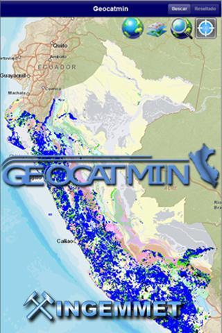
Geocatmin, is the mining geological and cadastral information system, developed by Ingemmet, with the latest GIS technology, in order to facilitate users of georeferenced information; Contributing to the promotion of mining investment, disaster prevention, territorial planning and sustainable development of Peru.
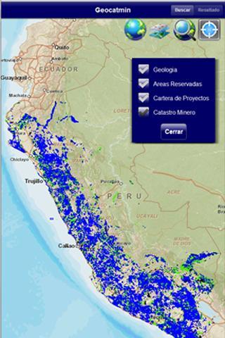
That can be done.
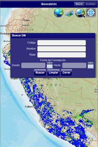
• Find access to information from the national mining cadastre
• Graph mining rights
• Consult areas restricted to mining activity.
• Interact Google Earth's base maps.
• Obtain coordinates, calculate areas and distances.
What's New in the Latest version 1.1.0
Last updated on Oct 6, 2015 Consultation and search for mining rights that are part of the mining cadastre of Peru, incorporation of the layers of areas restricted to the mining activity of Peru, National Geology scale 1/1000000. Geocatmin